Illinois Office: (815) 405-5185
Services Provided
Structure Scan in Concrete
Environmental Assessments
Forensics and Law Enforcement
Architectural Facade InspectionLocate fractures, voids and embedded objects in important historical structures to maximize repair and restoration efforts Utility Detection and MappingLocating and mapping existing piping prior to installation of new pipes ArchaeologyInformation from GRP survey for planing, conservation, preservation and accurate location of excavation units Cemetary Mapping
Highway Inspection | 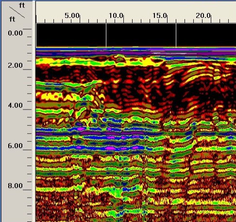 This dark area shows a spot where the soil has been disturbed. Upon further investigation the spot was found to be a drainage ditch that had been filled in about 2 years ago. 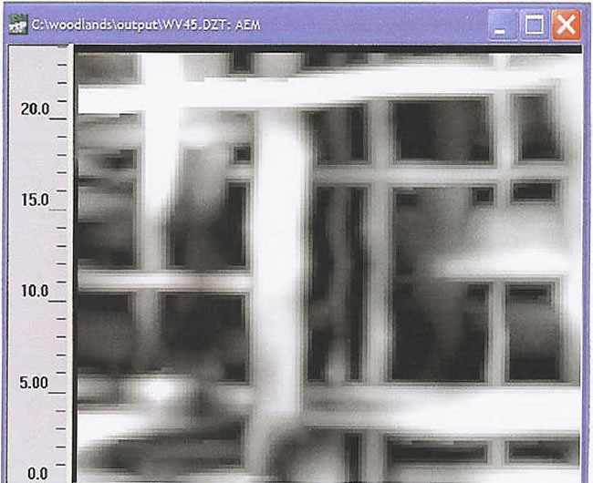 Top down view of a 2 x 2 section of bathroom floor with wire mesh, rebar and radiant heat tubes running through it at different depths.  During GPR mapping of a dipping pipe, an adjacent unknown waste pit was found. |